Apple Maps vehicles to expand Canadian recon this summer

Apple on Monday announced that Apple Maps vehicles will do deeper scouting and imaging in Canada this summer, laying the groundwork for first-party data and enhanced details.
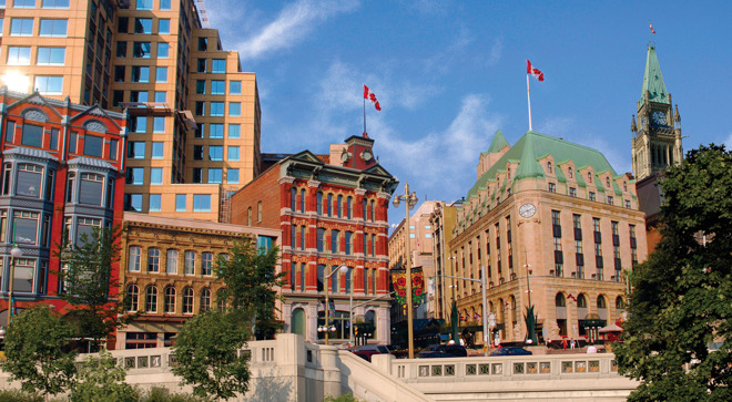
Fleets will begin driving all 10 provinces between May and November, Apple said. This excludes the territories of Nunavut, Yukon, and the Northwest Territories, likely because of their low populations and the difficult terrain between cities and villages.
Apple's notices in regional newspapers say that the company is "capturing road details, signage and landmarks," and planning to publish the data "in a future product update." It's also reportedly "working closely with local regulators" to assuage privacy concerns.
The effort marks the continuation of a years-long campaign to build up first-party map coverage. When Apple abandoned Google Maps integration with 2012's iOS 6, it turned to a hodgepodge of third-party sources that often resulted in missing or mislabeled landmarks. Since 2015 vehicles have been scanning the U.S. along with Croatia, France, Ireland, Italy, Japan, Portugal, Slovenia, Spain, Sweden, and the U.K.
Only the U.S. has seen first-party maps go live. There the company is also deploying foot teams, presumably to help with pedestrian and cycling directions. That's becoming especially important with the rise of personal electric vehicles like scooters and skateboards.
Comments
Great to see that Ireland is getting some Maps Love, too. All 26 counties in the Republic are being covered from May to July. Must look out for one of the vehicles in my rural neck of the woods.
😎🇮🇪☘️
The fact that Apple is working with local regulators to ensure protection of privacy is a very different process that Google undertook. Google drive vehicles without consent or care about capturing personal information and in fact was originally capturing private wi-fi info as well.
I am glad Apple is charting a path for its own Maps technology to prevent being held hostage to a data harvesting company.
Canada is so beautiful and largely unspoiled, but it will be a real challenge to properly map. Outside the populated areas, there is a LOT of open, nearly-empty space, and lots of places with roads and people but very spread out. I’m glad they are investing more in mapping the country and I’m envious of the drivers and others who will be part of this effort for the most part, but pointed not of the men and women who have to cover the prairies.